Where Artificial Intelligence Meets Geography
Transform location data into intelligent insights with an AI-powered Location Intelligence Platform designed for businesses, governments, researchers, and investors.
AI-Powered National Location Intelligence Platform
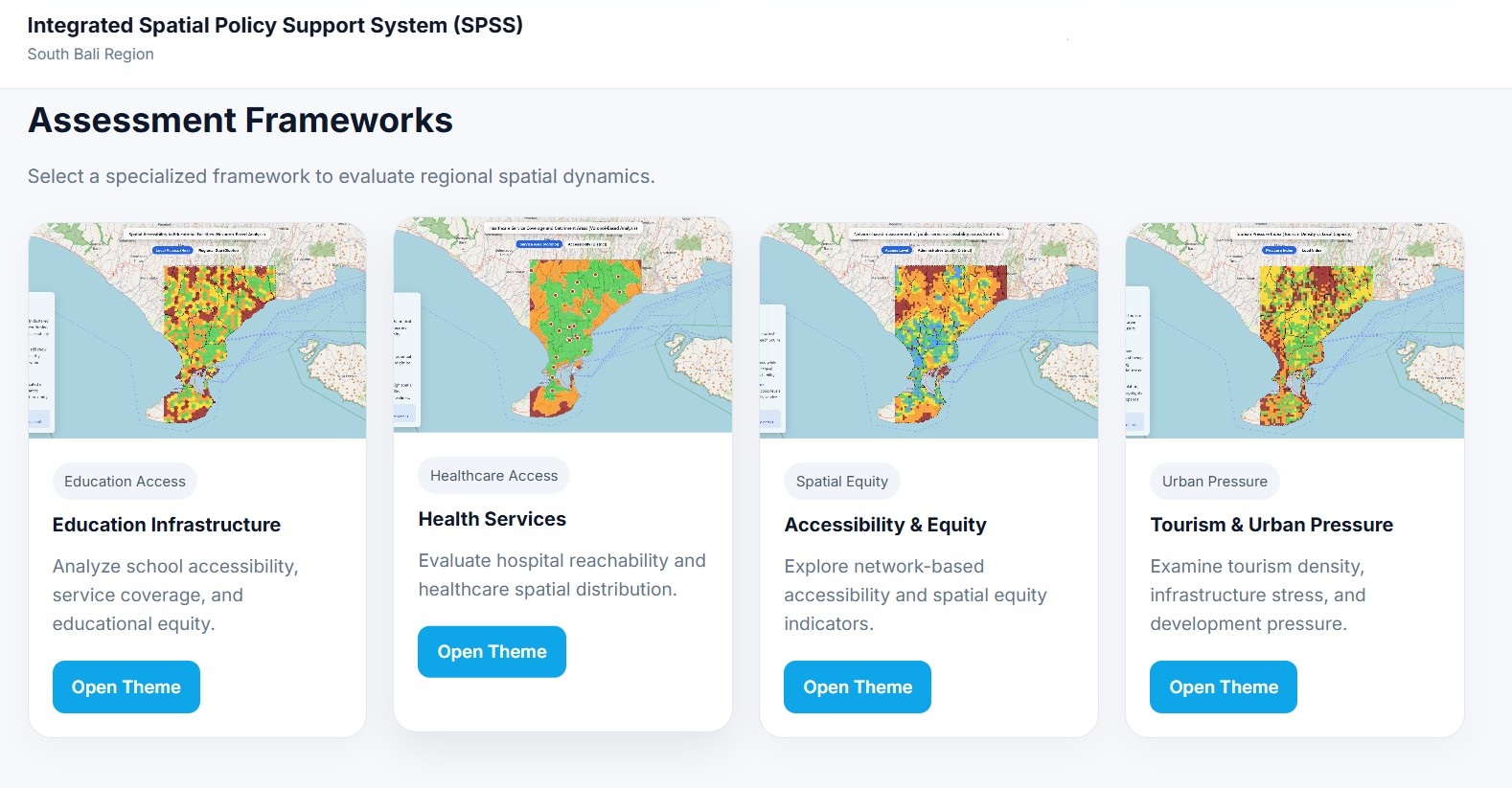
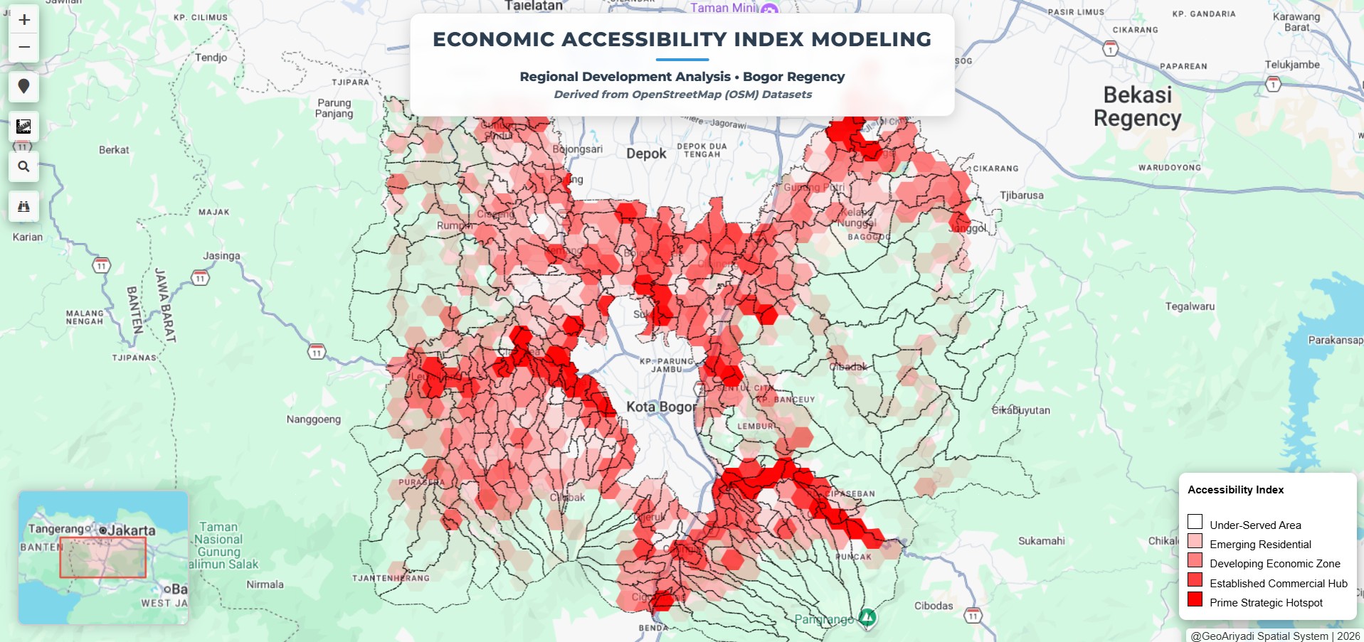
GeoLand Indonesia is a nationwide Location Intelligence platform that transforms complex geospatial data into actionable insights for smarter decision-making. By integrating building footprints, road networks, administrative boundaries, points of interest (POI), satellite information, and spatial indicators, GeoLand provides a comprehensive understanding of locations across Indonesia.
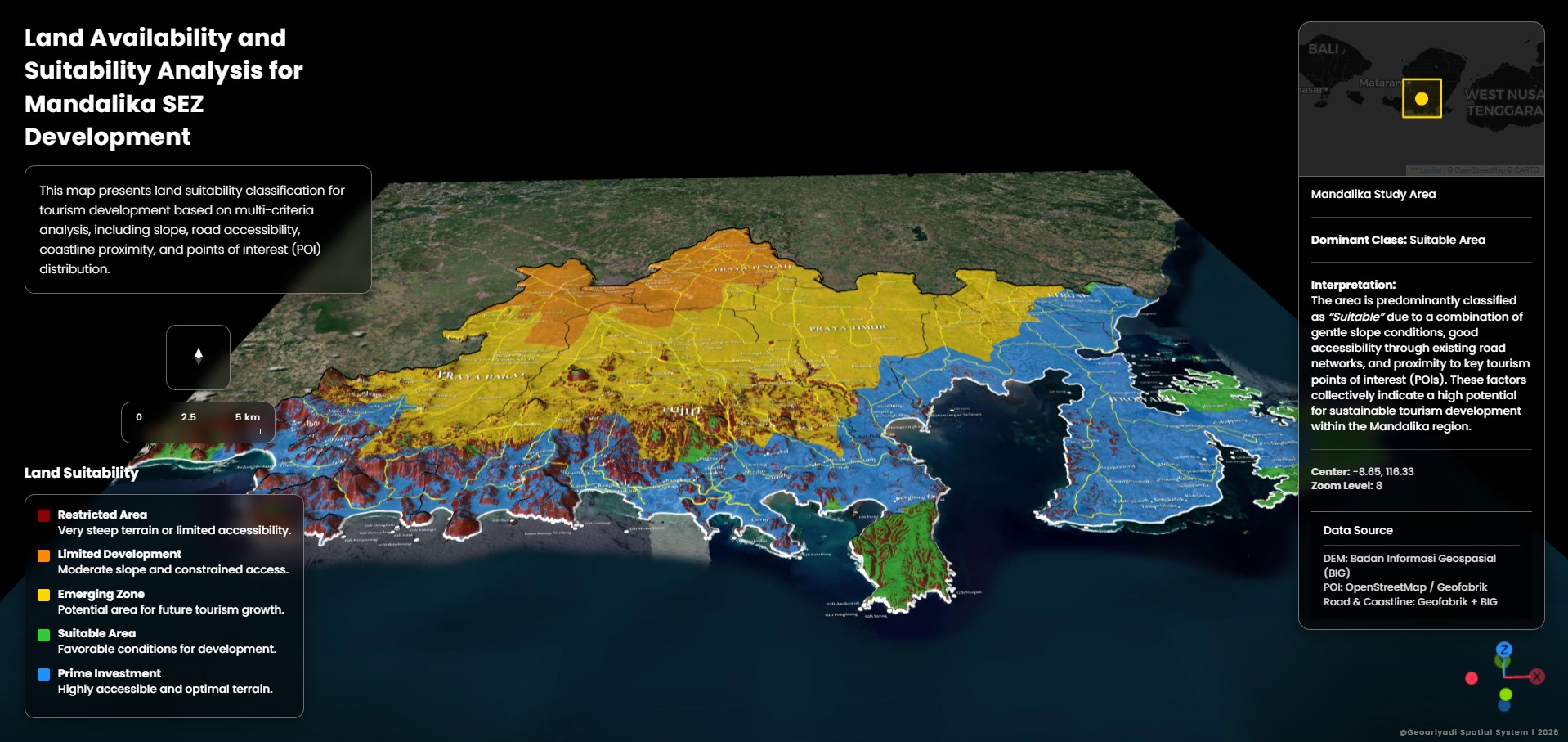
Designed for business expansion, investment analysis, urban planning, and regional development, GeoLand enables users to discover strategic locations, evaluate area potential, analyze accessibility, understand surrounding activities, and identify opportunities through interactive spatial intelligence.
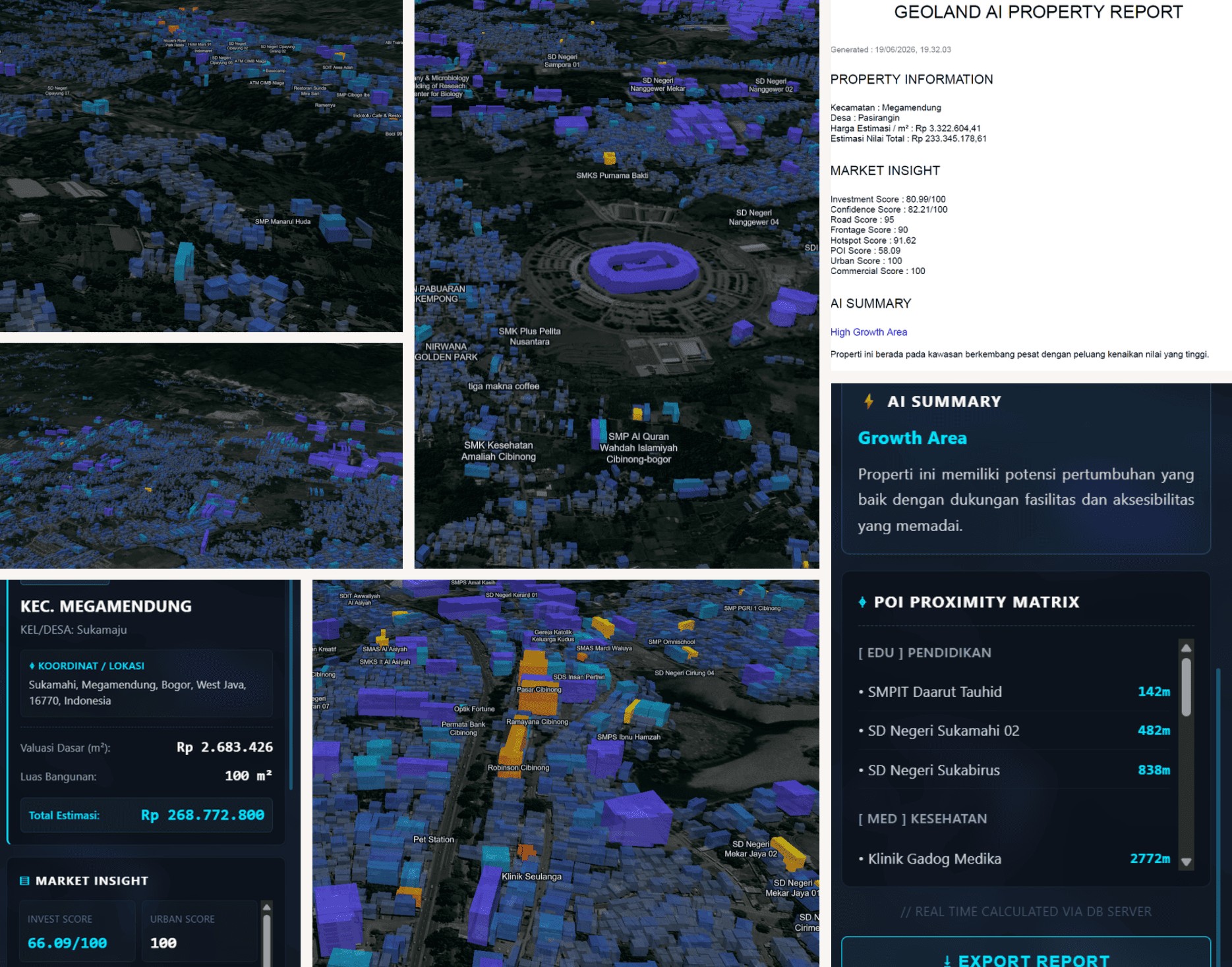
Unlike conventional mapping platforms that only visualize geographic data, GeoLand combines AI-assisted analytics, 3D building intelligence, property insights, business suitability analysis, and automated recommendations into a single integrated ecosystem.
Powered by modern geospatial technologies including PostgreSQL/PostGIS, MapLibre, vector tile infrastructure, spatial analytics, and AI-driven workflows, GeoLand is built to process large-scale geographic datasets while delivering a fast, intuitive, and scalable user experience.
GeoLand Indonesia represents the future of geospatial decision support — connecting location data, intelligent analysis, and interactive visualization to help organizations make better decisions based on where things happen.